Richland Creek Greenway & England Park
Paved greenway following Richland Creek and connecting to Sylvan Park.
The Nations moved fast — from an overlooked industrial-adjacent district of 1920s–50s cottages to Nashville's most-cited infill story. In 2025 Metro Council adopted a comprehensive rezoning plus a new Urban Design Overlay adding tree, stormwater, and design standards on top of base zoning.
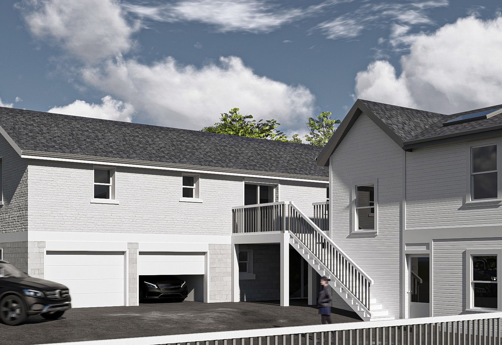
The Nations sits on a former floodplain and industrial tract along the Cumberland in West Nashville, platted in the early-to-mid 20th century with streets named for WWI Allied nations. It built out as a working-class district of warehouses, small factories, and modest single-family bungalows and cottages, mostly from the 1920s through the 1950s.
It stayed affordable and largely overlooked into the 2000s, then redeveloped rapidly starting around 2013–2017. Teardowns, tall-and-skinny infill, and a new commercial corridor along 51st Avenue North reshaped the neighborhood inside a decade, culminating in the contentious 2025 rezoning and design overlay.
Paved greenway following Richland Creek and connecting to Sylvan Park.
The neighborhood's commercial spine and main social gathering strip.
Large-scale portrait mural of longtime resident Lee Estes and the neighborhood's best-known public art.
Large public park with recreation fields and a golf course bordering the neighborhood.
Industrial-turned-mixed-use corridor along the neighborhood's southern edge.
Dense cluster of restaurants, bars, and retail that emerged through the 2010s.
Small-format breweries occupying converted industrial space along Centennial Blvd.
Bordering corridor mixing older auto-service and warehouse uses with newer mixed-use infill.
Boutique retail clustered along 51st Ave as part of the corridor build-out.
These are the base districts and overlays we see most often on The Nations lots. Always confirm your parcel's district and overlays on the Metro zoning map before design decisions get expensive.
The residential base districts historically covering most of the neighborhood's small lots.
The 2025 rezoning (BL2025-831/832) increased allowed density and height in parts of the neighborhood. Verify your parcel's current district on Metro's zoning map — many changed.
Legacy industrial and commercial zoning reflecting the area's origins, concentrated near Centennial Blvd.
Adopted 2025. Adds tree protection, stormwater, and design standards on top of base zoning across the neighborhood. There is no historic or conservation overlay here.
The Nations is the most visible symbol of Nashville's redevelopment boom, cited locally and nationally as the case study in rapid neighborhood change.
Its tall-and-skinny infill defined a citywide housing type, and the 2025 rezoning fight made it the flashpoint for debates over density, affordability, and stormwater in a former floodplain.
Business-driven markets and events along the commercial corridor.
Cleanups, runs, and outdoor programming along the greenway.
Community meetings that have been unusually active through the rezoning process.
Tell us about your lot and what you're hoping to do. We'll write back within one business day.