Saxony Lake District
Lake-centered residential and mixed-use area at the heart of the master plan.
Saxony is the 2001 master-planned district near I-69 and 131st Street that Fishers built before it built its downtown — a walkable mix of townhomes, single-family villages, retail, and office across several hundred acres. It is also the clearest example of why Fishers zoning questions cannot be answered from the R1–R5 table: Saxony runs on its own PUD ordinance, with a PUD Committee reviewing architecture.
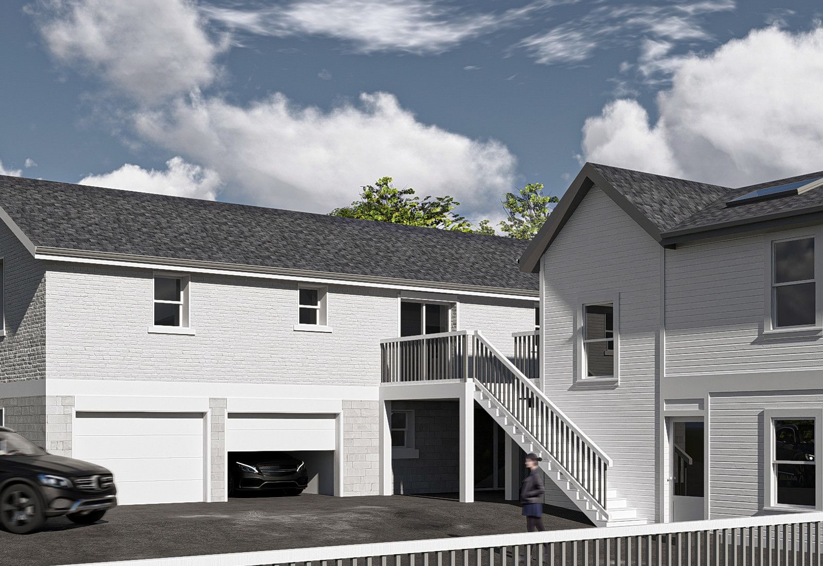
Ohio-based Republic Development launched Saxony in 2001 on 370-plus acres near I-69 Exit 10, framed as a New Urbanist alternative to conventional subdivision development.
The plan mixed residential villages with retail, civic, and office space at a time when Fishers had no walkable center of its own.
Phased build-out through the 2000s and 2010s added Saxony Village, the Saxony Lake District, and the MarketPlace at Saxony commercial campus.
The district grew well past its original footprint, and later phases carry their own approvals and commitments layered onto the original PUD.
Architecture in and around Saxony continues to be reviewed by a PUD Committee, which has denied designs it found inconsistent with the district's standards.
Lake-centered residential and mixed-use area at the heart of the master plan.
The district's retail and corporate campus near I-69 and 131st Street.
The original New Urbanist residential village with narrow lots and front-facing porches.
Anchor retail, restaurants, and offices serving the northeast side of Fishers.
Neighborhood-scale commercial integrated into the residential fabric.
These are the base districts and overlays we see most often on Saxony lots. Always confirm your parcel's district and overlays on the Metro zoning map before design decisions get expensive.
Most master-planned Fishers subdivisions are zoned PUD, which means a Council-adopted PUD ordinance — not the R1–R5 table — sets lot size, setbacks, height, and coverage. Pull the recorded PUD ordinance and commitments for the parcel before designing.
10,000 sq ft minimum lot, 80 ft width. Front 25 ft local / 40 ft other, side 10 ft, rear 25 ft. Height 35 ft. The common district for 1980s–1990s Fishers subdivisions platted before the PUD era took over.
7,500 sq ft minimum lot, 70 ft width, front 25 ft local / 40 ft other, side 10 ft, rear 25 ft, 50% maximum impervious area. The tightest single-family district in the UDO.
Applies near mapped greenways and parks. Base dimensional standards still apply, with added ground-cover and erosion control for land disturbance and trail connectivity requirements on new subdivisions.
Layered over base zoning along the Nickel Plate Trail corridor, including single-family lots that back or face the trail. Overlay architecture and landscape standards supersede conflicting base district rules.
Saxony was Fishers' first attempt at a live-work-play district and set the template the city later applied downtown.
It is the largest concentration of PUD-governed residential property in Fishers, which changes how every zoning question here is answered.
Its New Urbanist lot pattern — narrow, shallow, porch-forward — produces very different addition constraints than a conventional Fishers subdivision.
Retail-driven programming and seasonal gatherings in the commercial core.
Tell us about your lot and what you're hoping to do. We'll write back within one business day.