The two neighborhood lakes
The namesake water features. Lots backing them carry drainage and lake maintenance easements that constrain rear additions and accessory structures.
Harrison Lakes is a 140-home neighborhood in northwest Fishers, east of Allisonville Road and south of 141st Street, built out in the mid-1990s around the two lakes it takes its name from. Additions here are usually straightforward city-side; the work is in the association's architectural review and in respecting the lake and drainage easements at the rear of many lots.
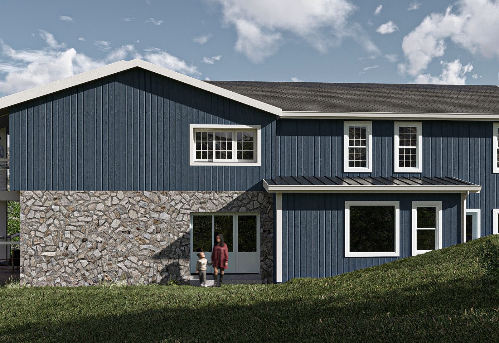
The neighborhood was built out in the mid-1990s — homes along Barnett Place are documented as built in 1996 and 1997 — during the wave of subdivision development that turned northwest Fishers from farmland into a commuter suburb.
It totals 140 homes organized around two interior lakes, which shape the street layout and the rear-lot conditions more than any zoning line does.
The homeowners association publishes covenants and an architectural guidelines and approval process, so the neighborhood has maintained a consistent exterior character since build-out.
The original developer and builders are not documented in the city's indexed records; where that matters for matching materials, we work from the recorded plat and the existing construction instead.
The namesake water features. Lots backing them carry drainage and lake maintenance easements that constrain rear additions and accessory structures.
Nearby public park serving this part of northwest Fishers.
The neighborhood's main access spine and its link to Fishers, Carmel, and I-465.
Everyday shopping and services along the corridor immediately west of the neighborhood.
Larger shopping destination roughly fifteen minutes away.
These are the base districts and overlays we see most often on Harrison Lakes lots. Always confirm your parcel's district and overlays on the Metro zoning map before design decisions get expensive.
15,000 sq ft minimum lot, 100 ft width. Front 25 ft local / 40 ft other, side 15 ft (10 ft with a side- or rear-load garage) and 30 ft aggregate, rear 40 ft. Height 35 ft, 35% impervious — up to 50% abutting Geist.
12,000 sq ft minimum lot, 90 ft width. Front 25 ft local / 40 ft other, side 10 ft (5 ft with a side- or rear-load garage) and 20 ft aggregate, rear 30 ft. Height 35 ft, 40% impervious — up to 50% abutting Geist.
10,000 sq ft minimum lot, 80 ft width. Front 25 ft local / 40 ft other, side 10 ft, rear 25 ft. Height 35 ft. The common district for 1980s–1990s Fishers subdivisions platted before the PUD era took over.
Most master-planned Fishers subdivisions are zoned PUD, which means a Council-adopted PUD ordinance — not the R1–R5 table — sets lot size, setbacks, height, and coverage. Pull the recorded PUD ordinance and commitments for the parcel before designing.
Not a Chapter 4 overlay but a city-wide standard over FEMA-mapped Special Flood Hazard Areas. Construction in the SFHA needs a separate Floodplain Development Permit through Public Works before the building permit issues.
It is a clean example of mid-1990s northwest Fishers: modest lots, traditional two-story homes, and a water feature as the organizing amenity.
At 140 homes it is small enough that the association's architectural standards materially define the streetscape.
Its housing stock is now thirty years old, which is exactly when kitchens, primary suites, and rear additions come due.
Neighborhood social and maintenance events are organized through the association.
Tell us about your lot and what you're hoping to do. We'll write back within one business day.