Fabl Design
Spring Mill · Carmel, IN

Wooded estate lots on a legacy corridor, with newer PUD infill

The Spring Mill Road corridor is one of Carmel's original estate addresses: multi-acre wooded lots, custom houses from the 1970s onward, and newer platted communities filling the gaps. Big lots make big additions easy in principle — the constraints here are trees, drainage, and sometimes septic.
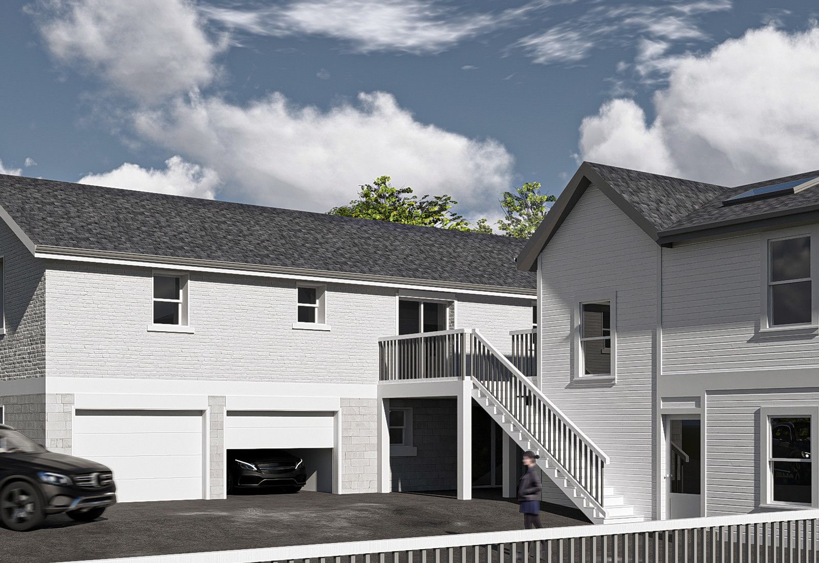
Rendering of a white detached garage and screened porch addition on a sloped lawn, designed by Fabl Design
History & architecture

How Spring Mill was built

Spring Mill Road is a historic north–south corridor named for the springs and mill along its route, and it developed as a country-estate road as executives built north of I-465 from the 1960s onward.

Custom estate houses on multi-acre wooded lots dominated through the 1990s, in traditional Colonial and French- and European-inspired styles.

Platted subdivisions filled in later — Springmill Crossing on roughly third-acre lots, and more recently Heritage at Spring Mill, a 42-lot PUD approved under Ordinance Z-617-16 at 116th and Spring Mill that also funded the corridor's widening.

Development pressure has continued into the 2020s, with new residential proposals along the corridor reviewed by the Plan Commission.

Typical era
1970s–1990s estates with 2000s–2020s subdivision infill
Lot sizes
One acre and up on the legacy corridor; about a third of an acre in platted sections
Common types
Custom Colonial and European-inspired estates, traditional two-stories, newer semi-custom homes
Design review
No city design review; HOA or PUD standards apply in platted sections
Landmarks & shared spaces

Places that anchor Spring Mill

Spring Mill Road corridor

The historic road the area is named for, widened in stages alongside recent development.

Heritage at Spring Mill

A 42-lot planned unit development at 116th and Spring Mill approved under Ordinance Z-617-16.

Springmill Crossing

Established amenity subdivision with a pool and courts, the corridor's largest HOA community.

Monon Greenway

The regional trail east of the corridor, a short ride from most Spring Mill addresses.

US 31 office corridor

The Meridian Street employment corridor immediately east, which drove the area's original estate development.

Businesses & districts

Where Spring Mill gathers

116th Street

The retail and restaurant crossing closest to most Spring Mill addresses.

US 31 / Meridian Street

Office and regional retail spine just east of the corridor.

Michigan Road (US 421)

West Carmel's retail corridor, the nearest full-service shopping to the west.

Zoning & overlays

Common zoning codes in Spring Mill

These are the base districts and overlays we see most often on Spring Mill lots. Always confirm your parcel's district and overlays on the Metro zoning map before design decisions get expensive.

S-1Residence — Estate District

Very low density estate lots: 1 acre minimum, 150 ft width, 50 ft front, 15 ft sides, 40 ft rear, 35 ft height, 20% coverage.

S-2Residence — Low Density District

Large-lot subdivisions: 20,000 sq ft minimum, 100 ft width, 40 ft front, 12 ft sides, 30 ft rear, 35 ft height, 25% coverage.

R-1Residence District

Standard single-family district across many established Carmel subdivisions: 12,000 sq ft minimum, 80 ft width, 30 ft front, 8 ft sides, 20 ft rear, 35 ft height, 30% coverage.

PUDPlanned Unit Development District

A parcel-specific ordinance adopted by the City Council that replaces the base district tables. Uses, setbacks, height, and coverage all come from the PUD text and its amendments.

Overlays that apply here

US 31

US Highway 31 Corridor Overlay

Applies to parcels within the mapped corridor boundary near Meridian Street, adding design and setback standards on top of the base district.

PUD

Community-specific PUD ordinances

Newer subdivisions such as Heritage at Spring Mill are governed by their own ordinance rather than the S- or R-district tables.

RD

Regulated drains and floodplain

Estate parcels backing to creeks fall under Hamilton County Surveyor jurisdiction and, where mapped, the city's floodplain ordinance.

Permitting path

  1. 1Confirm the parcel's base district and any overlay on the Carmel GIS zoning map before design starts. The Unified Development Ordinance replaced the old Carmel/Clay Zoning Ordinance numbering, so older paperwork often cites chapters that no longer exist.
  2. 2The Department of Community Services (DOCS), Planning & Zoning Division runs the zoning clearance — setbacks, height, and lot coverage under UDO Article 5 — before a permit can be issued. This is a staff-level review, usually a few days to about two weeks.
  3. 3Building & Code Services then handles the residential building permit, plan review, and inspections. Plan review on a typical addition runs about one to three weeks.
  4. 4Anything that misses a numeric standard — a setback, a height, an accessory-structure size, the coverage cap — needs a Development Standards Variance from the Board of Zoning Appeals. A DOCS pre-submittal meeting is mandatory; the hearing officer track runs about 30 days and the full board about 45 to 60 days.
  5. 5If a Hamilton County regulated drain crosses or abuts the lot, the County Surveyor's office issues a separate drainage permit on top of the city approvals.
Why it matters

Spring Mill's place in Carmel

Spring Mill Road is one of the city's legacy estate corridors, home to some of the largest private lots inside Carmel.

It bridges two eras — 1970s–90s custom estates and 2010s–20s PUD infill — often within a few hundred feet of each other.

Its position between US 31 and West Carmel keeps it among the city's most sought-after addresses for large custom work.

Events & festivals

What happens in Spring Mill

CarmelFest

Early July

Citywide Fourth of July festival and parade at Civic Square.

Carmel International Arts Festival

September

Juried art festival in the Arts & Design District.

Center Presents season

Fall–spring

Performing arts season at the Palladium, a few minutes east.

Designing here

What this means for your Spring Mill project

  • On an S-1 lot the 20% coverage cap and 50 ft front setback are generous enough that trees, not zoning, usually decide where an addition goes. Get a tree survey before schematic design.
  • Confirm whether the parcel is on municipal sewer or a septic field. On older estate lots the field location can rule out the obvious addition site and force the plan to the other side of the house.
  • Parcels backing to creeks may carry a regulated drain easement. Nothing permanent goes in that easement, and the County Surveyor's drainage permit is separate from the city's approvals.
  • In Heritage at Spring Mill and other PUD sections, the ordinance replaces the base district numbers — pull the governing text before assuming S-2 setbacks.
  • Lots of at least an acre are where Carmel's guest-house allowance actually applies, which makes the legacy corridor one of the few places in the city where a detached accessory dwelling is realistic.
  • Long driveways and mature canopy complicate construction access. Plan staging and tree protection into the drawings rather than leaving it to the contractor.
FAQ

Questions about Spring Mill

Start your project

Planning an addition or ADU in Spring Mill?

Tell us about your lot and what you're hoping to do. We'll write back within one business day.