Natchez Trace Parkway
National Park Service scenic parkway running past the village, with protected viewsheds.
Leiper's Fork is a National Register village in southwest Williamson County, surrounded by conserved farmland along the Natchez Trace Parkway. It is unincorporated — county zoning and village district standards apply, not City of Franklin rules — and conservation easements often shape what can be built more than the ordinance does.
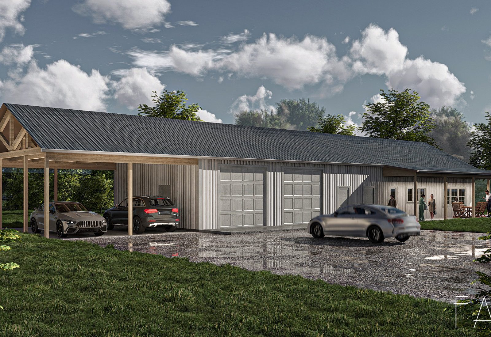
The village was originally known as Benton Town, and later Hillsboro, before taking the Leiper's Fork name. Its core is roughly bounded by Joseph Street, Old Highway 96, Old Hillsboro Road, and Sycamore Street.
The Leiper's Fork Historic District is listed on the National Register, with a boundary increase in the 4000 block of Old Hillsboro Road added in 2012.
The Land Trust for Tennessee's very first conservation easement, completed in 1999 with Aubrey Preston of the Leiper's Fork Foundation, protected 224 acres of rolling pastureland along the Natchez Trace to preserve the village's setting.
Williamson County's 2007 Comprehensive Land Use Plan led to the Leiper's Fork Village Special Area Plan; the Board of Commissioners adopted the Leiper's Fork Village District Standards on November 13, 2012, effective January 1, 2013.
The result is a working village that resisted the subdivision wave — galleries, a general store, live music, and farmsteads rather than retail strips.
National Park Service scenic parkway running past the village, with protected viewsheds.
National Register village core along Old Hillsboro Road.
224 acres of pasture protected in 1999 by the first Land Trust for Tennessee easement.
Small-batch distillery on a farm property outside the village core.
Working artist studios and galleries that give the village its cultural identity.
General store and live music room that anchors the village center.
Historic store building used for events and gatherings.
A short strip of independent galleries and shops along Old Hillsboro Road.
Working farms and equestrian properties surrounding the village.
These are the base districts and overlays we see most often on Leiper's Fork lots. Always confirm your parcel's district and overlays on the Metro zoning map before design decisions get expensive.
County standards adopted November 13, 2012 and effective January 1, 2013, written specifically to keep new building consistent with the village's scale and rural setting.
Surrounding land is county-zoned rural residential and agricultural, with large minimum lot sizes and long setbacks typical of unincorporated Williamson County.
Franklin's own rural districts show the scale of rural setbacks in this county — AG requires 15 acres with a 225 ft front setback, ER 2 acres with 150 ft front. Leiper's Fork is not subject to these, but they illustrate the pattern.
Privately held easements over much of the surrounding farmland. They can restrict building envelopes, subdivision, and accessory structures regardless of what zoning permits.
Honorific federal listing. It documents significance and affects federally funded projects, but does not by itself restrict private exterior work.
Visibility from the parkway is a persistent design consideration for anything on the ridges and open pasture nearby.
Leiper's Fork is the cultural heart of rural Williamson County and the clearest example in Middle Tennessee of conservation-led growth management — the landscape was bought and protected rather than zoned into place after the fact.
The village supplies the county's rural identity in a metro that is otherwise suburbanizing fast, which is why every new structure gets local attention.
For homeowners, the design brief is different from anywhere else in Franklin's orbit: buildings should sit quietly in a landscape, not command a streetscape.
The village's signature small-town parade down Old Hillsboro Road.
Long-running holiday parade through the village.
Songwriter nights and porch performances that draw visitors from across the region.
Art walks and openings along the village strip.
Tell us about your lot and what you're hoping to do. We'll write back within one business day.