Protected conservation area
Roughly nine acres of preserved land inside the subdivision, kept as permanent open space.
Deer Ridge is a Crown Point subdivision of roughly half-acre lots with about nine acres of protected conservation land inside it, a short drive from the downtown square. Walk-out lots and preserved woods make for excellent rear elevations — and for conservation easements that decide exactly where an addition or a pool can go.
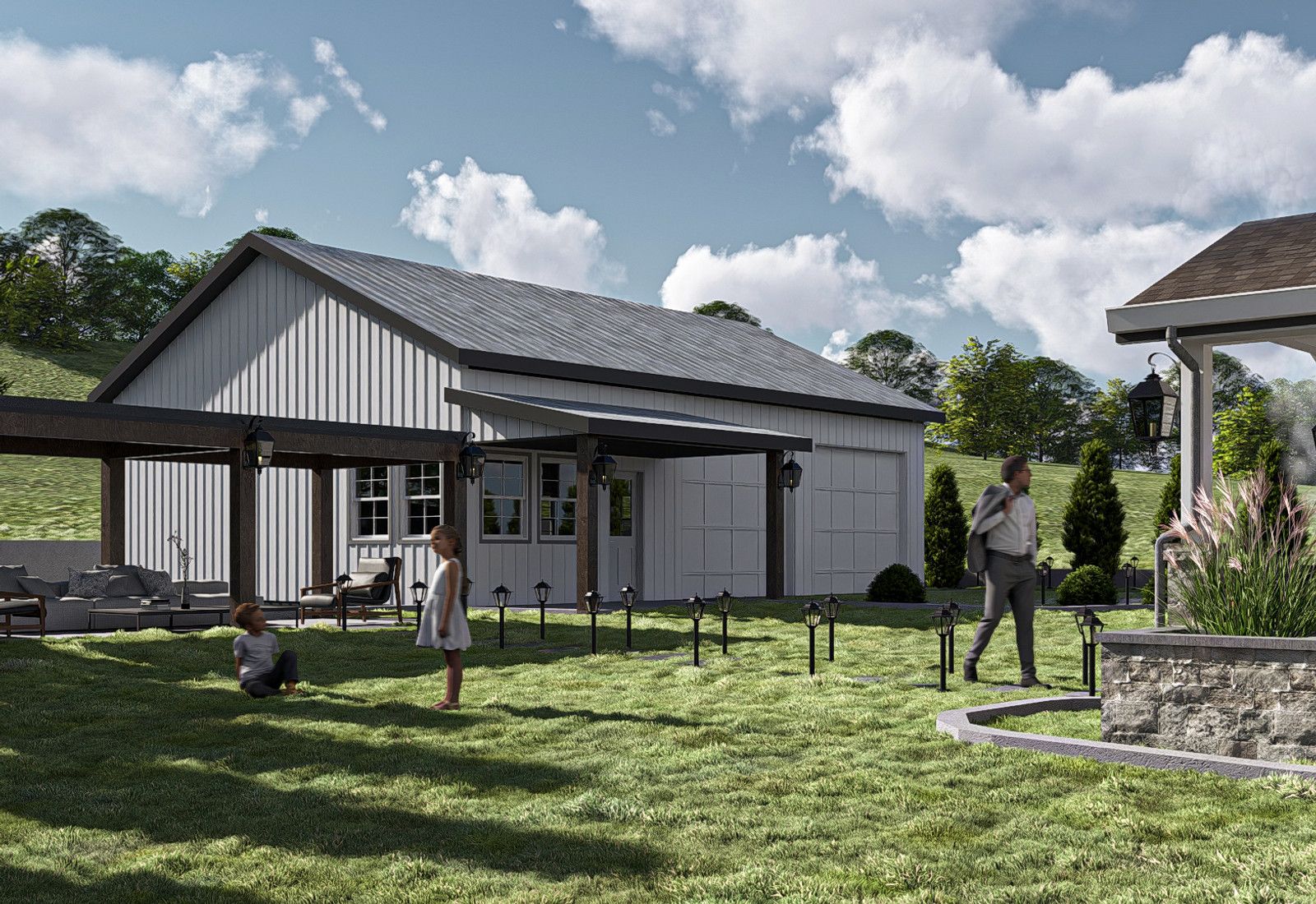
Deer Ridge was platted as a low-density Crown Point subdivision with generous lots, on the pattern of the city's late-phase residential growth outward from the historic core.
The plat set aside roughly nine acres of protected conservation land, an approach Crown Point subdivisions adopted as stormwater and open space requirements tightened.
Lots run to about half an acre, with walk-out conditions where grade allows — a rarity in a county that is mostly flat.
The community sits close enough to the downtown square that residents use it as their commercial center rather than the highway corridors.
Roughly nine acres of preserved land inside the subdivision, kept as permanent open space.
The historic courthouse square, a short drive from the neighborhood.
Lake County park with trails and open space in the Crown Point area.
Regional athletic complex serving the city's youth leagues.
Restaurants, coffee, and independent retail around the courthouse.
Grocery and everyday services on the way into the neighborhood.
Additional retail and commuter access south of the city.
These are the base districts and overlays we see most often on Deer Ridge lots. Always confirm your parcel's district and overlays on the Metro zoning map before design decisions get expensive.
Crown Point's lower-density single-family district. Front setback around 30 ft on a standard street and 60 ft on a major arterial, roughly 10 ft interior side yards, a rear yard measured as a share of lot depth, and a 35% building coverage cap. Verify the current table in Chapter 150 for the specific parcel.
A subdivision-specific ordinance approved by the Plan Commission and City Council that replaces the base district table. Lot size, setbacks, height, and coverage come from the approved PUD plan and its amendments.
The subdivision's protected acreage is permanently restricted. Nothing gets built into it, and lots that abut it carry additional limits at the rear.
Detention areas and swales are part of the plat's drainage design. Grading changes near them require engineering review under the city's stormwater ordinance.
Confirm whether recorded covenants and an architectural review committee apply to the lot before design; most Crown Point subdivisions of this vintage have them.
Deer Ridge is one of the Crown Point subdivisions where lot size still allows a real addition without fighting the setbacks.
The conservation land gives the neighborhood a permanent edge condition, which shapes both the market and the design opportunities on abutting lots.
Walk-out grades support lower-level living space, the single most cost-effective square footage available in the Region.
Citywide festival on the downtown square.
County fair at the Crown Point fairgrounds.
Weekly market at the square.
Tell us about your lot and what you're hoping to do. We'll write back within one business day.