White Oak Park
The city's anchor park and the trailhead for the White Oak Connector Trail.
Red Bank is not part of Chattanooga. It is a separate incorporated city just north of the line, with its own zoning ordinance, its own building department, and its own design review for the Dayton Boulevard corridor. That distinction is the single most important fact for any project here.
Red Bank incorporated as its own municipality and is governed by a mayor and Board of Commissioners with its own planning commission — Chattanooga's Chapter 38 zoning does not apply inside its city limits.
The community grew mainly as a streetcar-to-automobile suburb along Dayton Boulevard through the mid-20th century, which is why its housing stock is so consistently 1940s–60s.
Red Bank Plan 2035, adopted in 2015, is the city's guiding comprehensive plan and the basis for its corridor redevelopment work.
In 2020 the city adopted a Design Review Ordinance covering specific corridors — a corridor design measure, not a historic-preservation district.
The city's anchor park and the trailhead for the White Oak Connector Trail.
Multi-use trail linking White Oak Park toward Stringer's Ridge.
City-built hiking and mountain-bike trail network opened recently on the ridge.
Civic and recreation hub and the venue for most city events.
The commercial and civic spine that organizes the whole city.
The primary commercial corridor, subject to the city's design review standards.
Secondary commercial and service corridor on the west side.
A smaller local commercial cluster serving the surrounding streets.
These are the base districts and overlays we see most often on Red Bank lots. Always confirm your parcel's district and overlays on the Metro zoning map before design decisions get expensive.
Red Bank's own ordinance governs, with an R-series of residential districts and separate office and commercial chapters. Lot, setback, and height figures come from this ordinance — not from Chattanooga's Chapter 38 — so we pull the current table for your specific district rather than assume.
Residential zoning uses an R- naming convention. Confirm the exact district and its dimensional table with Red Bank Community Development before design, since the city amends its ordinance independently.
Title 14 Chapter 4 covers the office and commercial zones along the corridor.
Corridor design standards, focused on commercial redevelopment rather than single-family homes. Confirm the mapped boundary if your property fronts Dayton Boulevard.
Creek corridors within the city carry flood requirements — verify with Red Bank's own mapping, not Chattanooga's tool.
No local historic district with Certificate of Appropriateness review was identified in Red Bank. The 2020 design review ordinance is a corridor measure, not a historic overlay.
An independent city with its own ordinance and permit office directly adjoining Chattanooga's north side.
One of the region's most active small-city trail builders, with White Oak and Godsey Ridge shaping property values.
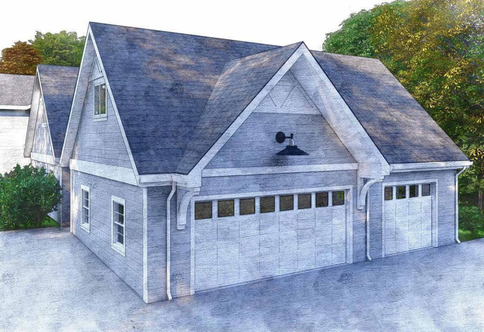
Its 1940s–60s stock and small lots make it a strong market for additions and accessory structures.
The city's free annual community festival with music and family programming.
The Godsey Ridge and White Oak trail projects draw significant community turnout.
Where the city's zoning and design review changes actually happen.
Tell us about your lot and what you're hoping to do. We'll write back within one business day.