Fabl Design
Turkey Creek corridor · Schererville, IN

Trail-side living, with the floodplain as the governing design constraint

Turkey Creek runs through Schererville with a trail and nature preserve alongside it, and the homes near it enjoy the best open-space access in town. They also sit closest to the Flood Hazard Area Overlay. This is not a single subdivision — it is a corridor crossing several platted neighborhoods — and the common thread is that the flood map, not the zoning table, usually decides what gets built.
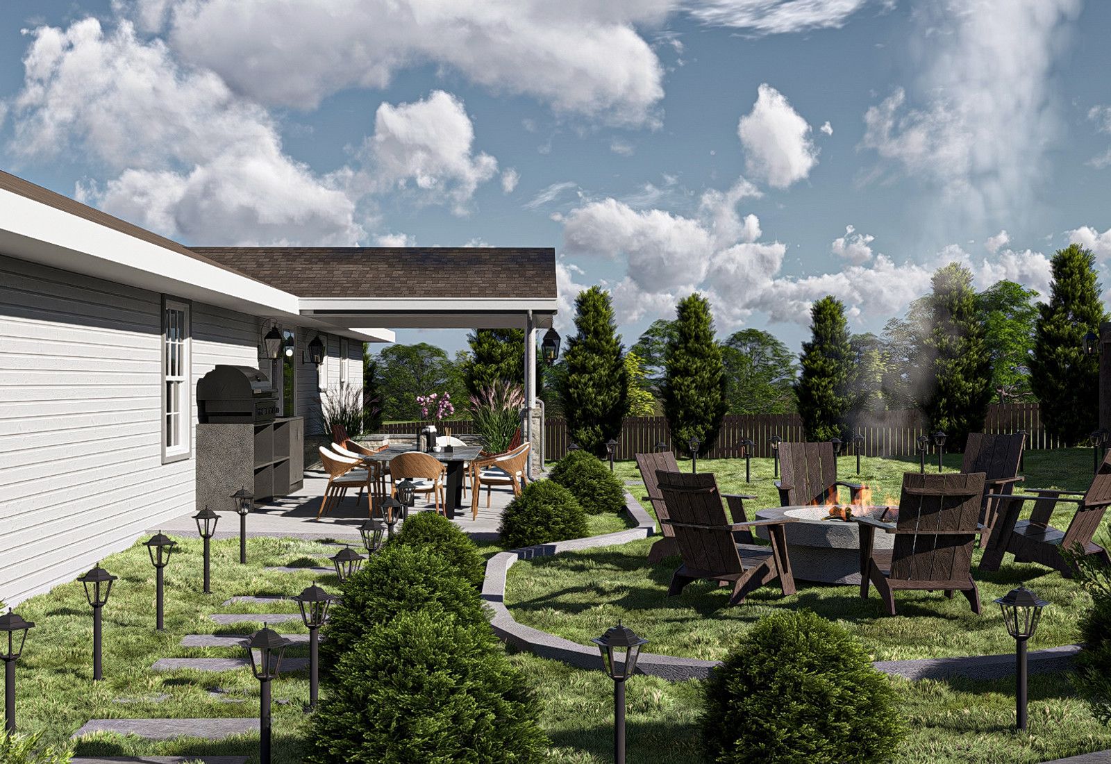
Rendering of a backyard patio with a covered outdoor kitchen, fire pit seating circle, and lit garden path, designed by Fabl Design
History & architecture

How Turkey Creek corridor was built

Turkey Creek is a natural waterway running through Schererville and neighboring Dyer and Merrillville, predating the town's development pattern entirely.

The creek shaped where and how Schererville's subdivisions could be platted, with development laid out around the drainage way rather than across it.

The Turkey Creek Trail was built along the corridor, giving adjacent neighborhoods direct access to a regional path.

The Ivan Gatlin Nature Preserve protects a stretch of the corridor as public open space within Schererville.

FEMA mapping of the corridor produced the Special Flood Hazard Areas that Schererville's Flood Hazard Area Overlay District now regulates.

Note that Merrillville has an unrelated neighborhood also called Turkey Creek — the Schererville corridor is a geographic and regulatory area, not a platted subdivision name.

Character
A corridor crossing several subdivisions, not a single plat
Typical districts
R-1 and R-2
Governing constraint
Flood Hazard Area Overlay over FEMA-mapped Special Flood Hazard Areas
Amenity
Turkey Creek Trail and Ivan Gatlin Nature Preserve access
Landmarks & shared spaces

Places that anchor Turkey Creek corridor

Turkey Creek Trail

Regional trail following the creek corridor through Schererville.

Ivan Gatlin Nature Preserve

Protected natural area along the corridor in Schererville.

Turkey Creek

The waterway itself, whose FEMA-mapped floodplain drives the overlay boundary.

Businesses & districts

Where Turkey Creek corridor gathers

US 41 corridor

Retail and services along Indianapolis Boulevard, east of the creek corridor.

US 30 corridor

Regional shopping to the south of the corridor's Schererville reach.

Zoning & overlays

Common zoning codes in Turkey Creek corridor

These are the base districts and overlays we see most often on Turkey Creek corridor lots. Always confirm your parcel's district and overlays on the Metro zoning map before design decisions get expensive.

R-1Single-family residential (detached)

10,000 sq ft minimum lot, 80 ft of width at the building line (100 ft on corners), 125 ft depth. Front yard 30 ft (not more than 50 ft), rear 30 ft, side yards totaling 20% of lot width with neither below 8 ft. Height 35 ft / 2.5 stories, building coverage 30%. Zoning Ordinance No. 2004, adopted April 10, 2024, Title IV.

R-2Single-family and two-family residential

8,750 sq ft and 70 ft of width for a single-family lot, 12,500 sq ft and 100 ft for a duplex. Front 30 ft, rear 25 ft, side yards totaling 20% of lot width with neither below 7 ft. Height 35 ft / 2.5 stories, building coverage 30%. Title V.

Overlays that apply here

Flood Hazard Area Overlay

Flood Hazard Area Overlay District

Applies over FEMA-mapped Special Flood Hazard Areas, including the Turkey Creek corridor. The lowest floor must sit at or above the flood protection grade, and Chapter 9 river corridor, bluff, and floodplain standards apply on top of the base district.

Permitting path

  1. 1Check the FEMA FIRM panel and the Town's Flood Hazard Area Overlay before committing to a rear addition, a lower level, or a walkout.
  2. 2Inside a mapped Special Flood Hazard Area the lowest floor must be at or above the Town's flood protection grade, which frequently rules out the grade-level addition a homeowner had in mind.
  3. 3Chapter 9 of the Code carries river corridor, bluff, and floodplain protection standards plus separate lot grading and drainage standards — both are reviewed at permit.
  4. 4Confirm the freeboard figure and any floodway setback directly with the Planning & Building Department; these numbers change with map revisions and code supplements.
  5. 5An elevation certificate is worth ordering early. It is cheaper than redesigning a foundation after review.
  6. 6Outside the mapped area, the base district's 30% building coverage — and in R-3 the 75% impervious cap — still governs added patios, drives, and accessory structures.
Why it matters

Turkey Creek corridor's place in Schererville

The corridor is Schererville's principal natural amenity and the spine of its trail network.

It defines the town's most significant regulatory constraint on residential work — the Flood Hazard Area Overlay.

It crosses several distinct platted subdivisions, so neighbors on the same street can be inside and outside the mapped area.

Its drainage function means added impervious surface here is scrutinized more closely than elsewhere in town.

Designing here

What this means for your Turkey Creek corridor project

  • Order the FEMA FIRM panel and confirm the flood zone before anything else. The overlay boundary can cross a single lot, and a rear addition may land inside it while the house does not.
  • Inside a Special Flood Hazard Area, the lowest floor must sit at or above the Town's flood protection grade. That commonly rules out slab-on-grade rear additions and walkout lower levels.
  • Chapter 9's river corridor, bluff, and floodplain protection standards apply alongside the separate lot grading and drainage standards — both get reviewed at permit.
  • Confirm the freeboard figure and any floodway setback directly with the Planning & Building Department rather than relying on a prior project's numbers; map revisions and code supplements change them.
  • An elevation certificate ordered early costs far less than redesigning a foundation after review, and it also informs the insurance conversation.
  • Even outside the mapped area, the 30% building coverage cap and the required 2-ft green strip govern added footprint, and drainage toward the creek will be examined.
FAQ

Questions about Turkey Creek corridor

Keep exploring

Other Schererville neighborhoods

Start your project

Planning an addition or ADU in Turkey Creek corridor?

Tell us about your lot and what you're hoping to do. We'll write back within one business day.